Barrowford Visitor Mooring to Pipe Bridge 116A
Yesterday Mick had walked down to see if the Locks were actually locked overnight. There was a padlock on a chain, but it was just resting on the lock beam. This meant no lie in waiting for 10am and that today we’d be on our way at 8am.

Barrowford Locks drop you down 67ft 9″, passing Barrowford Reservoir and ducking under the M65 before you arrive at Nelson then Brierfield before cruising through Burnley. There was nobody else about showing intention of using the locks so we’d be on our own.

The bywashes ran fast, just about every lock in our favour, the odd one requiring a top up. By the second lock we got views over the reservoir, Barrowford is one that has been drained of for works to be carried out on it, small puddles of water sit surrounded by greenery as diggers moved about on the far banks kicking up dust.


There were plenty of dog walkers out, one black lab lumbered along with a big stick. When it reached a lock bridge, which are quite narrow, it laid down it’s prized piece of tree and walked across, leaving said stick for it’s owner to pick up and move across to the other side where the lab picked it up again and trotted on across the field.
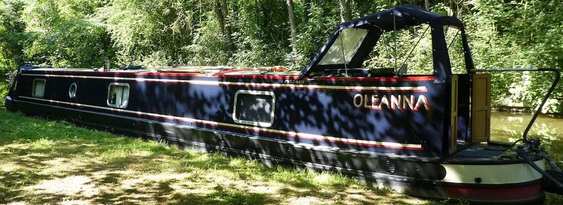
As we rounded the final bend with the last two locks to go we came across contractors about to trim the grass and an uphill boat. As soon as the strimmers started up there was no chance of chatting to anyone, they continued as Oleanna lowered in the chamber, Mick feeling slightly vulnerable with the strimmer above him, kicking grass etc about.


By 9:45am we were on the long pound following the contour. The miles on the mile posts grew to Leeds and lowered to Liverpool. This side of the canal a much more industrial landscape, the backs of mills and far less green hillocks fill the view. Lesser spotted supermarket trolleys show their wheels frequently as the bottom of the canal is quite lumpy. At one bridge a pontoon was set up with a scaff tower on it. Chalked numbers all over the underside of the bridge, it must have been having a survey done, wonder how deep the pitting is?
Our schedule had us mooring just north of Burnley Embankment today, but we’d nudged things along a bit planning on a longer day to reach a favourite mooring. When we first cruised this end of the Leeds Liverpool back in 2014 Bank Hall Dry Dock had just been taken over and there was a flurry of activity. Today sadly it looks very different, maybe even closed the big shutter door firmly closed.


A few more wiggles and then straight ahead of us was Burnley Embankment. The banks over grown, we made comments about how it was one of the Wonders of the Waterways and how you would think it would be more impressive, some tlc to help show it off. We passed the lines of chimney pots and looked down on the streets, maybe one day we’ll see it from below and not just when shopping at Tescos.


On the far side there were flashing lights and several men in workwear orange. Maybe the embankment was getting some tlc. The towpath has been resurfaced and a gang of workers were busy shovelling out top soil along the verges. Another chap brushed off new mortar where the wall had been rebuilt whilst a member of the public sat on a bench dancing aided by music and at least three open cans of larger.
Round the far end came a tug, pushing more than it’s weight in water, the waves it left behind getting on for 18″. This did not please the boats moored at the new (to us) Finsley Gate Wharf. Here there is a new pub, rooms to hire and three moorings to go with it for patrons, each space filled with boats bobbing up and down. It looked rather appealing and would warrant a visit next time.


In stark contrast shutters cover the windows and doors of The Inn on the Wharf. This is where people used to moor to visit Burnley, not one boat outside today.

A pause to top up with water at Rosegrove Services. Volunteers were busy working on some fruit and veg raised beds, signs saying to help yourself. In a week or so there will be strawberries, some gooseberry plants and maybe some salady bits all kept under nets.

From here on we’d be criss crossing under the M65, we’d already been over the top of it, then under it whilst in Gannow Tunnel. Our Waterways Routes map shows where the course of the canal was altered so as to avoid even more bridges. The trough of the canal along these stretches is concrete.
There seems to have been a fashion in this part of the world for astroturf. Five houses side by side each having a slightly different shade of plastic green!


An old life raft overtook us, heading for the next stretch of permanent moorings where it winded and moored. Soon we were back with the view stretching for miles and miles, the Ribble sitting below the hills. Past one redundant swing bridge and then we’d reached our destination for today. Pipe Bridge 116A.
Here you can appreciate the view from inside your boat. The M65 buzzes away above whilst sheep and cattle graze on both sides of the canal. Tilly headed off to explore, it took her a little while to find the friendly cover on the other side of the fence.

We had a late lunch then I set to preparing tonights meal. Back in Skipton we’d bought suitable things for a Sunday roast, but the veg were looking like they wouldn’t last, so we decided to have it tonight instead.
All week I’ve been confused about which day it was, this nearly always happens around Thursdays . Nearly every day this week has felt like a Thursday, now Thursday has turned into Sunday! It’s soo confusing!!

After eating we took stools out to watch the sun set. Such a great view, we’ve never known it disappoint. I span the dial on my camera round and discovered that since it went away to be mended it seems to have some new settings. The photo above was taken normally, the one below with one of the new settings, the scene we saw was more like the one below.

7 locks, 14 miles, 1 tunnel, 1 embankment, 3 boats moving, 1 tug causing many furrowed brows, 1 smart towpath, 1 more dead pub, 1 new pub, 1 week of Thursdays ending with a Sunday, 1 roast chicken, 1 confused sheep, 1 misty sunset, 5 new camera settings.


