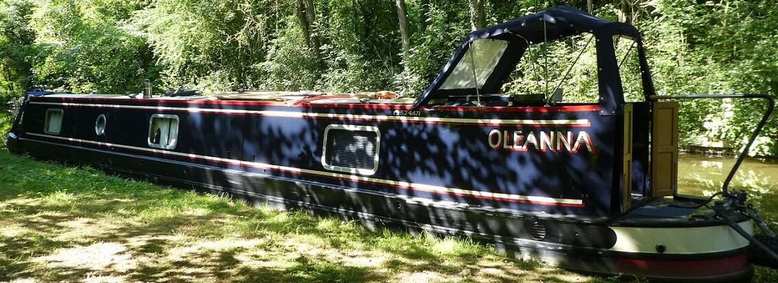
Castleford Visitor Moorings
It started to rain last night and was still going for it this morning. Not torrential rain, but as the land is totally soaked right now the rivers were going to rise quickly. Here at Castleford Cut we are protected by the flood lock out onto the junction of the Rivers Aire and Calder. Last night we’d considered moving up to above Lemonroyd Lock where there is a nice mooring both we and Tilly like, but the rain this morning put us off. Currently we’re not in a rush so why get wet. Others including NB Nee Nah were off early, their aim to head to Leeds to await Woodnook Locks reopening at the end of the week. We decided to wait for the rain to stop, weather apps were checked, maybe early afternoon.

The Geraghty zoom this morning included conversations on fitted wardrobes and levelling up funding, diesel on boats in London, cat flaps and Masquerade by Kit Williams.
We pottered away the morning. Mick started to look at the river levels, hmmm, going up as we’d thought they would. There had been a notice this morning saying that Ledgard Flood Gates on the Calder Hebble were closed due to rising water levels. This is some way upstream but the waters would soon arrive here.
A walk to look at the level board at the flood lock. Waterproofs were donned and a slippy walk was made until we reached the tarmac and the road that weaves it’s way round to the A656. Down the footpath and back at the cut. Here we could see the normally amber light was now red and flashing at us. The flood lock closed. We crossed the lock gates and walked down to see how high the water was.

The level board has a very long red length, suggesting the river can rise very high. Today the river was sitting at about 2 inches into the red, we’d not be going anywhere today! At this end of the lock there are three lights each facing a different direction, all of these were amber, navigation possible to get off the river section and into the safety of the cut.

We crossed over the top gates, stood and wondered just why the flood lock here was such an odd shape. A little further on was a clue, a channel which is possibly used to fill the lock now but it showed obvious signs of it having been a lock in the past. Gate recesses and metal work from where gates used to be attached. A look at our Waterway Routes map confirmed that it had been a lock. I’d also spotted that there was another old lock shown on the map. Maybe the course of the cut had changed through the centuries, very likely.

On our return to Oleanna we took a slight detour and spotted the old lock which used to connect the River Aire below the weir to the cut. Had this been to bring goods up from the river to avoid navigational difficulties down stream? Time to do a bit of history hunting.
Old maps showed that there had been the smaller lock from the river that we’d seen today, but they also showed Castleford Cut. Hunting round I found a very good article on a Castleford History blog A lot to read, but worth it if you are interested. Here’s a quick precis.

In the C17th the textile industry was on the rise in the West Riding. Goods were imported and exported via York, packhorse boats sailing up and down the River Ouse which connected with packhorse routes across Yorkshire. In the 1620’s permission was sought in parliament to build short cuts to avoid weirs on the Rivers Aire and Calder. But opposition from York Corporation meant the bills were rejected. By 1698 royal ascent was received for the plans, meaning Castleford would become an important place during the canal boom years, the village growing into a town.
The original cut came off the river where we’d spotted the old lock. From here is continued in a straight line, through where the dry dock is and then down back onto the river behind The Griffin Pub on the big S bend, this meant bypassing the weir. Much of this old route has now been built over so no evidence is visible other than the dry dock. On the map below this route is shown by the blue line. This was possibly the shortest/cheapest route and opened in 1699. Castleford now became a key point for the collection of toles with wool, cloth, grain and coal passing through.

The amount of traffic built up during the C18th, the capacity of the locks on the Aire and Calder were becoming an impediment. In 1774 an act of parliament was passed for a series of improvements. The awkward angle of Castleford Dam Lock was one problem the silt build up here another. So another cut was cut, shown above in purple. It came out from the current dry dock at 90 degrees then another turn to the east before dropping down to the river at Middle Lock, the ruins of which we’d spotted very close to our mooring. This all opened in 1775, but really wasn’t an ideal solution.

Trade was good, a weighing station was built in 1819. At this time Castleford also became a place where passengers would arrive by coach from Leeds and join boats heading for Goole and Hull. The Packet Boat steps are still visible below Castleford Bridge on the Aire. But in 1834 the opening of the Leeds Selby railway saw passengers move to the rails and then climb onboard boats in Selby to head down stream on the River Ouse. AS passengers reduced in number freight increased and further improvements were considered to the navigation.

In 1819 John Rennie surveyed the navigation and commented on it’s bad design and how the old lock was in a bad state of repair. George Leather did a survey in 1824 finding that depth of the cut was seriously bad, less than 5ft in places (not just a problem today!), the tight turns frequently caused damage to the boats. Where the lock met the river and the next half mile downstream was prone to silting. Various suggestions were made, Rennie added a suggestion of a new flood lock north of the current one. Then Thomas Telford was brought in, 1827, straightening of the River Calder was added into the mix and he agreed on much of what Leather had proposed. Works started in 1829 and by 1831 the north and south cuts had been joined and the navigation became what we have today stretching to Bulholme Lock where it re-joins the river, bypassing the weir, meanders and silt (route shown in orange).

The river levels have continued to rise through the afternoon and evening 1.66m by the time we went to bed. Tilly climbed trees, I knitted and Mick found things to do avoiding sorting out the remaining contents of The Shed.

0 locks, 0 miles, 2 old locks found, 2 bacon butties, 1 abandoned pushchair, 2 inches in the red, 1 soggy day, 21:10 generator turned off, 1 still going at bed time, 1/3 sock knitted, 6 sausages and roasted veg,1 boat trapped, 2 flashing red lights.
Wonderful historical research, a great way to use a rainy afternoon. Hope the weather picks up for you. It has rained for days here. Christine
Thank you Christine, I’m hoping that I won’t be spending the whole of this year doing research!
An interesting read Pip.
Thanks Ade