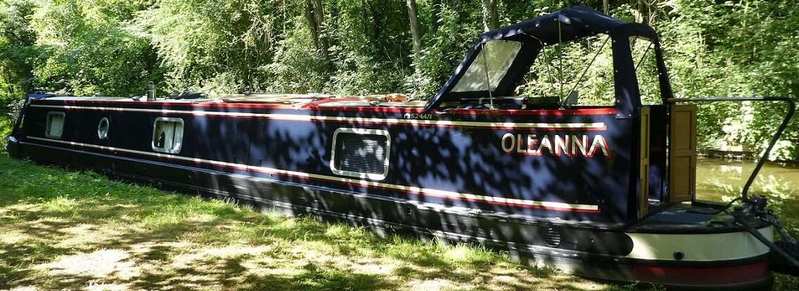
GOBA mooring River Wissey to Ten Mile Bank GOBA Mooring, River Great Ouse
Last night we went to sleep with a Sedge Warbler singing it’s heart out. This morning it was still seriously going for it. He’ll keep going until he finds a mate apparently!
No need to get going early today, in fact no real need to get going. Instead we had a good read of our Saturday newspaper with a cuppa in bed and then enjoyed a Mick breakfast. The hash brown had to be made without egg to bind it together today, but it held itself very well.

Tilly had a good ninety minutes shore leave, although one of the other boats on the mooring had a dog which every now and again necessitated a rapid return to the safety of the boat.


Just gone midday we pushed off and headed to where the Wissey joins the Great Ouse, here we turned left/upstream/southwards. The Wissey narrow and over hung with trees whilst the Great Ouse was wide and shimmering in the occasional bit of sun we had.


On the west bank a lady was out for a walk, young child in a pushchair who kept waving and on a lead a white pony who walked along at heel obediently.

The flood banks are quite high so we didn’t get any views, just the occasional tree and house popping up from behind the grass banks.
We pulled in at Hilgay Bridge to top up on water and put a load of washing on. There were two boats on the mooring in front of us. One a Black Prince hire boat, the chap noticed what we were doing and came to look at the tap. The people from the cruiser came for a chat, they were out to give their boat a good clean, but kept being distracted from their jobs.

Up on the bank the lay of the land just isn’t right. The surrounding fields lower than the river with the big banks between. Yes I get that the land was drained for agriculture, the water put into the river. But how did the river end up being where it is, it has to have existed before the land was drained. Were the banks raised so that it could accommodate more water? I think I need to revisit my Geography A level!
It’s all topsy turvy around here. Going down onto the Middle Level then up onto Tidal waters then down again whilst going upstream! All wrong!

Simon Judge responded to our question from the other day regarding the lowest you could be on the waterways. Here is his reply
The relief channel could be even lower. It’s worth noting that the Old River Nene used to flow in the direction you are travelling, ie downhill towards Upwell. The lock at Marmont shows how much the bottom section was lowered in 1850 or so when the main drain was built.
I do think Mullicourt must be the lowest aqueduct on the system …
PS the stretch to the south west of Lode End lock is lower than the main section when the lock is in use, but is not at a lower level below sea level if you see what I mean!

We continued a while southwards to the next GOBA mooring at Ten Mile Bank. Not much of a view from the river, just high grassy banks. But climb to the top of the bank and you can see for miles.
Outside a Whitethroat sang it’s heart out, getting a touch louder and quicker when Tilly arrived! She was given the afternoon to pounce in the long grass as our washing dried on the whirligig and I got out my project again. More circles cut, even smaller than last time and wire featured quiet a bit too!


0 locks, 4.27 miles, 1 left, 1 sparkling river, 1 full water tank, 7 sets of circles, 76 pounces, 1 topsy turvy world!


The Middle Levels between Ashline and Marmont Priory Locks is maintained at 35cm below Ordnance Datum (approximately seal level), although the level will vary a little after rain etc.
The Relief Channel summer level is approximately 98cm below Ordnance Datum (sea level), although this level isn’t maintained particularly accurately so you could be more than a metre below sea level at times.
Thank you Paul, so we weren’t as low as we could go!
Don’t know what happened to your comment as it ended up in spam, but here it is now.
Interesting stuff on lowness! Just catching up.
Yummy indeed Pip decent plate there Mick
Ade