Plank Lane

Back in Scarborough Mick happened to arrive the day after a builder had been to do some work on our roof. Hopefully the areas we can’t see have been done as well as those we can. Mick also discovered a blocked drain. As we’ve been paying for insurance for such things he made a phone call for someone to come out today to unblock it. Unfortunately this meant extending the car hire as he’d never make it back across the Pennines in time. So slightly more expensive than it should have been, but better to get it sorted today.

The front flower bed, which had our first humanmade compost added earlier this year is thriving! Mick sprinkled on some wild flower seeds to add to anything left from last year. We’ve still to see any flowers other than the bluebells that have been there for years.
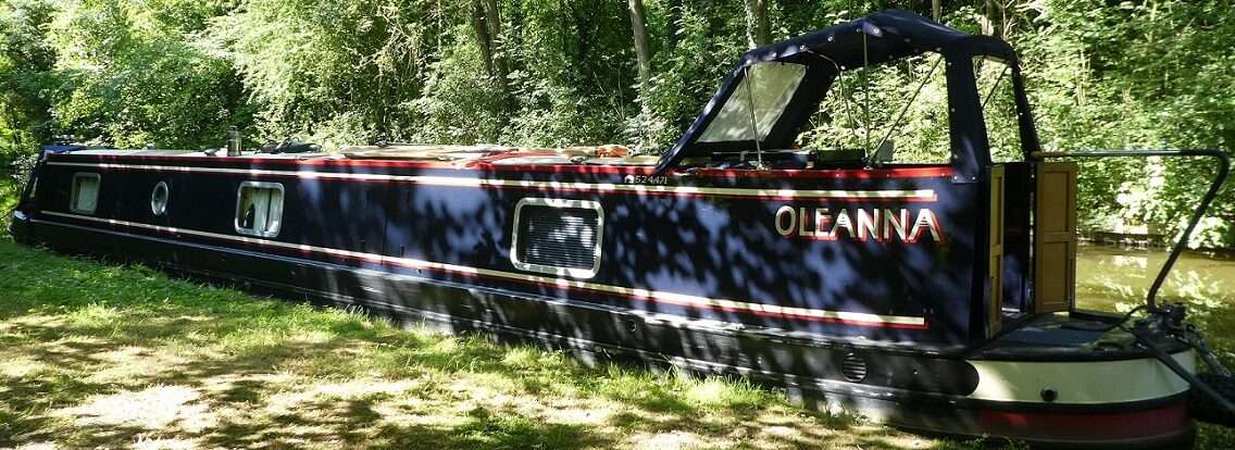
Meanwhile back on Oleanna.
Boats have been coming and going most of the day. The Hotel Boat Lady Teal came past the chap at the helm giving a running commentary to guests sat on the roof. This was far more convivial than the language being used on a shiny widebeam between husband and wife. I thought boating was meant to be relaxing, life better by water and all that! I’m not sure what the argument was about, but I don’t give their wonderful life afloat together long!

Act 2 of panto was re-read and scribbled sketches made. I’d thankfully finished in time to join a webinar at 11am.
Nebo is a boat logging app that was developed by Stephen Winter in Australia. It tracks your journeys and then sends you a report at the end of a days cruise. You can also use it to share your journeys and information with other boaters and friends. We first came across it when the Goole Escape happened, our friend David suggested it so that we’d all be able to see where we were on the Ouse as we headed to Selby.
Every now and then we used it to track our journeys during the following year and when we heard that Water Explorer was going to be no more we hunted round for a different way to track our journeys. Nebo came to the front and we’ve been using it for every journey since January. It’s use by narrowboaters has increased this year, more dots appearing on the map, so the chaps at Nebo wanted to do a webinar to go through new features that they will be launching in a week or so and to get feedback from boaters here in the UK, especially on the inland waterways as Nebo was mainly developed for use at sea and on rivers. It’s used extensively in Australia and the USA.
Stephen explained how the tracking works, the app which you can download onto a phone or tablet uses GPS to track your movements through Geofences, octagonal (I think he said) areas that can be identified as locations. We were shown how the geofences work around Sydney Harbour. Here in the UK they are working hard to geofence the inland waterways. So far on our journeys this year we only get the occasional named place that we’d been through or visited. On none geofenced stretches you get co-ordinates instead.
They are working at adding locks and tunnels so that you can see how long you were underground and log how many locks you’ve been through. Currently we have to do this manually, which lets face it isn’t that hard, but it would be nice if the report you get at the end of the day listed when you travelled through these.
Photos can be uploaded to show features to other users. You can chat to boats that are ahead of you, send messages and display your clubs burgee should you want to. It could make for quite a social app.

As an alternative to the app you can buy a Nebolink which is wired into your boats battery bank and has a GPS and a sim card built in. This will automatically track your journeys, starting as you move from a mooring and stopping after you’ve been stationary for a while. As with the app on a phone this will send you a daily log of your days voyages. Here’s ours from yesterday. Each month you also get a monthly report.

With the new version there will be new features such as being able to see previous journeys you’ve made should you want to.
Feedback was invited from the 18 or so UK boaters. Geofencing locks, bridges and tunnels was a main request. You can also give people a link to be able to track your location, this is being improved in the new version.
There was also the suggestion that maybe stoppage notices could be added, heights of bridges, lock dimensions, locations of services. All useful navigational information if you are using the app on a phone as you cruise.

We use Waterway Routes for this information, it is very comprehensive. Information includes types of moorings, duration of moorings, towpath types access onto towpaths, winding holes (and their available length), water points, elsans, pump outs, rubbish bins, recycling bins, diesel, gas, boatyards etc. etc. All sorts of information that are useful for boaters and towpath users. We know it is as up to date and as accurate as it can be. As we travel we help update details giving Paul five figure grid references of things we spot that have changed. Paul travels the waterways himself both by boat and by bike regularly, quite an undertaking.
Many a boater will sing the praises of Open Canal Map which is free and can be updated by users, but the accuracy isn’t, for want of a better word, policed. When we’ve looked at it in an area we’re in we find mistakes or old information which isn’t helpful. .
Nebo is having an upgrade in the next few weeks with three levels of subscription. Starter which is free. Silver and Gold (which uses a nebolink) will be subscription based. I believe everyone will get a chance to see what is offered with a silver subscription for a month for free when it is first launched.
We look forward to more geofencing of the UK waterways and may upgrade ourselves to the silver subscription. If they develop a wifi version of nebolink I suspect we will purchase one, but for navigational information we will stick with Waterway Routes. I can’t see that Nebo would ever have such copmprehensive and up to date information as Waterway Routes currently has.
A very informative webinar and nice to meet, even if on line, the Founder and CEO who I think have found a hole to fill in the UK.
The rest of the day was spent working on sketches for panto, working in adjustments I’d talked about with John. I got a third story board together, but suspect there is still more to do.

A walk around the new housing opposite, showed the use of astroturf and real hedging. I came across a couple of sculptures. One to mark the Bickershaw Colliery Disaster in 1932 where twenty miners entered the cage to lower them down the number three shaft to the pit face. During the descent the equipment malfunctioned and descended too far submerging it and the miners into a flooded chamber at the bottom of the shaft. Only one miner survived.

In the centre of the development is a carving of Private Alfred Wilkinson. Alfred was in the Manchester Regiment and was a recipient of the Victoria Cross for volunteering to deliver a message in Marou France in 1918, being exposed to extreme gunfire for 600 yards. He died at the age of 43 in 1940 of carbon monoxide poisoning at Bickershaw Colliery.

0 locks, 0 miles, 1 blocked drain, 1 extra day with a car, Act 2, 3rd storyboard, 1hour nebo, 1 wave to David and Tim, 7:45pm return.