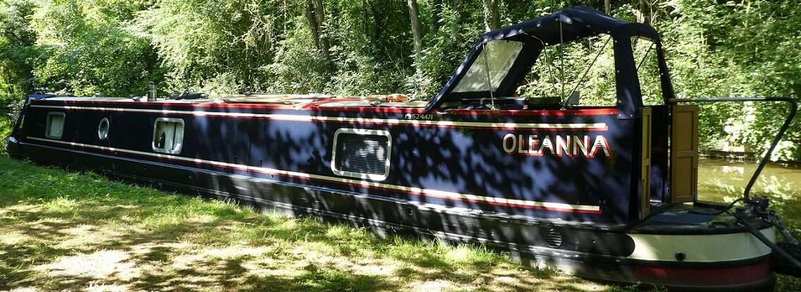
Well considering we’ve been sat around for what feels like the last month it was a surprise to get the Nebo Monthly Summary through.

This is where we travelled in May.
We moved 11 times, underway for 18 hours and cruised what the report says was 76.5 miles with an average speed of 4.1 mph and a maximum speed of 8.1 mph, we have been on rivers and had the tide to assist us too.
The Nebo reports tend to be more accurate than they have been in the past, but there are still two different distances recorded. One is in the banner of the report and suggests the total distance travelled, the other is at the end of the days log which is a running total, this can often be 0.2 miles or so different.
So my tally of distance for May is 78.125 miles.
My spread sheet also records milage from Canal Plan, but because that is done in miles and furlongs it takes a bit of time to add up, which is currently better spent on model making for panto.