Goole
Apologies for those who receive an email when the blog gets posted, everything is fine I was just trying to work out how to share some footage, which didn’t work on that attempt!

With various deadlines coming up I stayed at the house today whilst Mick headed back to Goole to check on things. We’ve builders coming next month so before then our old bedroom needs to be reclaimed and then there are accounts to do so that the tax man knows we don’t owe him anything, along with the next phase of my panto design.


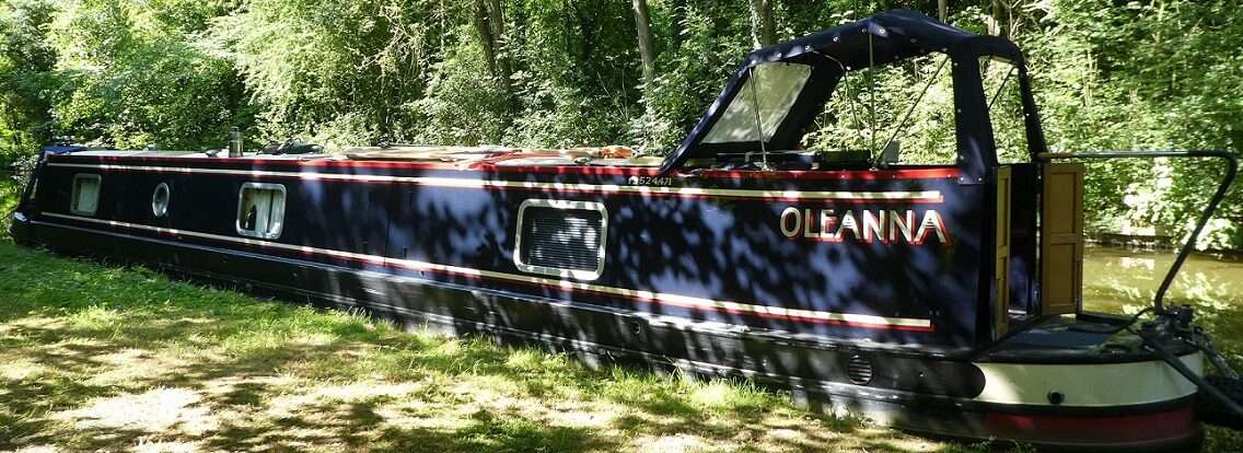
So whilst I stripped wallpaper Mick drove over the wolds to Goole, he was under instruction to take photos and measure the water level in the marina.


Today 3ft 8″ half an inch higher than two days ago, small progress, but progress all the same. Oleanna’s engine was run whilst he had his pack up. More cupboard doors were left open, then he headed off to see what he could see.
The pumps at the caisson stop gate were pumping away. Gallons and gallons over from the canal into the docks. From the photos it looks like they have more than two pumps but only two jets of water were doing their stuff.


Because you can’t get up close to the gates it’s hard to tell what the height difference is on both sides. Mick thought it was only slight, not an obvious difference. The bubbling up of water into the canal wasn’t evident today either. Maybe some work has been done on the gates to stop leaks, or maybe the water being pumped out hides any leakage.
Mick also headed to the docks. Two ships were in. At least the level in the docks is being held high enough for the port to operate.

During the day I’d been checking in on Social Media for any updates. In the Goole and Surrounding areas, aerial view group it looked like someone would be out filming again today. The road by the breach site was closed and there was a lot of activity going on.


Later in the day Mark Penn put up a series of photos from the site along with some footage. He has very kindly given me permission to use the images and footage here. Thank you!
A roadway had been laid before Christmas to get to the breach. Bags of aggregate had been lifted to help block the flow of water. Today diggers were on site along with a couple of work boats.

From the photos it looks like they may be going to use a tarpaulin along the bank to hold back the water. The long blue sausage on the bank, using un-technical terms. Once this is lowered into position it will be sucked by the force of the water over the breach, hopefully stemming water from escaping.


Diggers are busy dropping large boulders into the cavity on the off side. You can see where a large area was washed away before Christmas
Lorry loads of clay are arriving too, this is used to help plug gaps through the boulders.

Plenty going on. According to Mark they will be working through the night.
Here is an interesting piece by Andrew Percy the local MP which was posted yesterday.
He has also posted the following on his facebook page.
Some interesting aerial views sent to me via Mark from the Goole Aerial Views Facebook page who was down at the site with a drone earlier. What you can’t see from this is the depth of the breach or the whirlpool which is apparently below the surface suggesting a quite significant breach which they tell me is actually some way up from where the bank collapse is and where the water is coming out. What you can’t see is what is happening under the water at some depth. I have seen people on other pages holding forth with their reasons for the breach, some with strong political views trying to play a bit of politics. The reality is we do not yet know, but there is an old culvert under here which was apparently abandoned some decades ago which may be part of it. Rather than speculating though, it is better if we all wait to establish the facts. In my time in Parliament I have consistently argued for better care for our rivers and waterways and for improvements in defences. Whilst flood defence spending is now at a record high, the record of governments of all colours over the decades has been to ramp up spending after a major event and then for it to fall away. I’ve consistently argued the case for more investment in defences and maintenance because we are one of the most flood prone areas of the country. We have had a lot of flood defence works locally but the changing climate is straining the defence standards we have.I have also seen and had reports about the banking coming away in other parts. Some people are calling these ‘breaches’ which naturally will cause some alarm. I have reported these faults on the banks to the Canal and Rivers Trust over recent days. They tell me that this is to be expected when the water level has fallen as the pressure from the water obviously keeps the banks in place. This will need to be attended to in the future as part of the permanent repairs but they tell me that their engineers have assessed these and whilst they are unsightly, they are not a concern at this stage and are not breaches.Again, all I can do is pass on the concerns and pass on the responses. I understand people want to share these concerns but we all need to be careful to not report as fact something we may not actually be sure of. Thanks to Mark for sharing these images.
So things progress on the Aire and Calder, levels are low. Meanwhile across the southern canals and rivers they are suffering from too much water! Way too much water. Boats are stranded, surrounded by flood water. Somerton Meadows which when we passed last year was a lake, today it resembles a sea!

0 locks, 0 miles, 1 more trip, 0.5 inches, 2 ships, 12? workmen on site, 1 hole being filled, 2 boaters in need of water, 3672 boaters with FAR too much water.